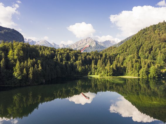
The source of the Iller is located in Oberstdorf, where it is formed through the confluence of the Trettach, Stillach and Breitach rivers. As it starts to head north, the Iller winds its way through the Allgäu past the towns of Sonthofen, Immenstadt and Kempten. On the second half of its journey, the Iller flows through Upper Swabia, roughly marking the state border between Baden-Württemberg and Bavaria, before joining the Danube in Ulm and continuing to the Black Sea. The Breitach’s source is in the Kleinwalsertal valley, while the sources of the two other tributary rivers, the Trettach and Stillach, are located in Bavaria. The Iller’s source is within easy walking distance of Oberstdorf, just by the "in form park" fitness centre to the north of the village.
×
unique and magical Special places
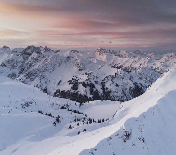
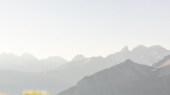
Breathe in the fresh mountain air and discover the spectacular natural landscape of the Allgäu Alps.
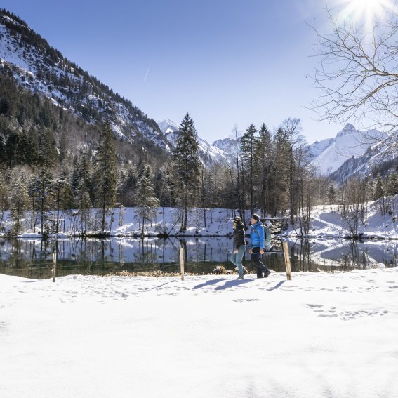
Oberstdorf’s side valleys and districts promise nature at its best and wild village romanticism. The countryside and nature reserves make up 75% of Oberstdorf’s municipal area.

Source of the Iller

Christlessee lake
In the heart of the Trettachtal valley, by the hamlet of Gottenried, this beautiful, legend-shrouded mountain lake with its blueish green water sits at an altitude of 916 metres. Just to the south of the lake are powerful springs, which feed clear water into the lake, giving it good drinking water quality. This explains the lake’s unique character, which is also what makes it so mysterious: even in severe minus temperatures, the Christlessee lake does not ever freeze. The lake’s clear water can therefore be marvelled in liquid format at any time of the year.
Christlessee lake is within easy walking distance of Oberstdorf’s "Mühlenbrücke" bridge, from where a path leads past Gruben and Gottenried to the legend-steeped lake in the Trettachtal valley.
The Breitachklamm ravine
The water of the Breitach river "bubbles and burbles and roars and gurgles" through the narrow gorge with vertical, overhanging walls that tower to almost 100 metres in height, thundering over high shelves of rock, gushing through deep pools and spraying the finest droplets that dance in the light.

Judenkirche
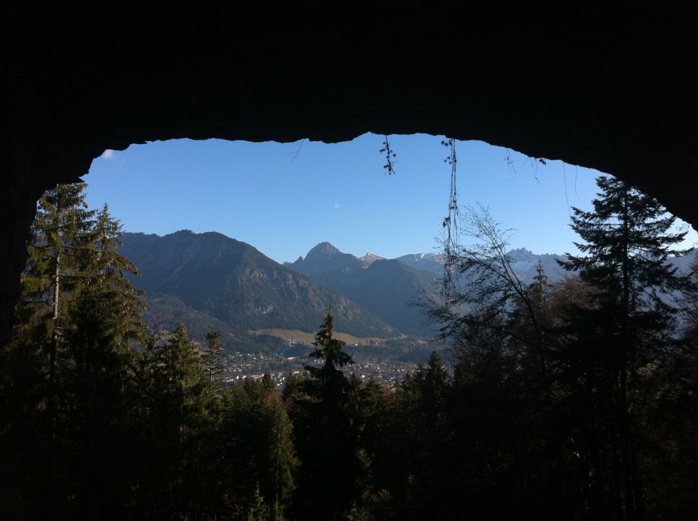
This unique natural monument, a natural rock arch is located at 1060 m altitude on Ochensberg at the northwestern border of Oberstdorf on Fischinger corridor. The impressive rock arch has a width of about 15 meters, a height of about 5 meters and a thickness of 1 to 2 meters. The view through the gate today offers an excellent view of Oberstdorf and its mountains. In June 2007, the Environment Committee of the district reported the rock formation as a natural monument and 2008!
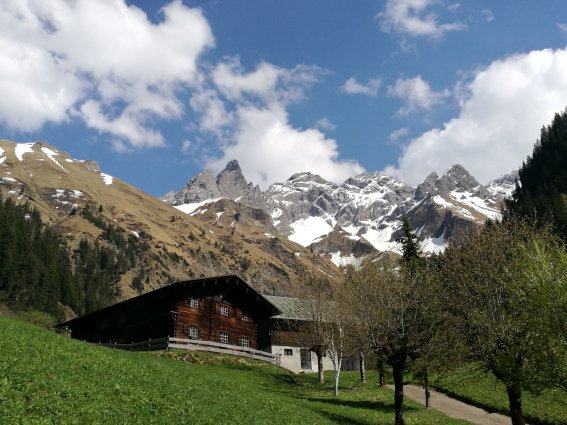
Einödsbach
One valley on, at the foot of a breathtaking mountain backdrop, the small village of Einödsbach marks the edge of the Stillachtal valley. The Einödsbach mountain inn is Germany’s southernmost permanently inhabited building. The former village was originally made up of three houses and a chapel, built in the tightest of spaces and surrounded by the impressive massif of the Allgäu’s main ridge. Today, only the inn is permanently inhabited. Records of there being a settlement here date back to 1613. It’s also worth taking a brief detour to the Chapel of Saint Catherine, which can be reached by following the road from Birgsau. To the east, a hiking trail runs through the Bacherloch Gorge up to the Waltenberger Haus. To the south, the route leads into the Rappenalptal valley.
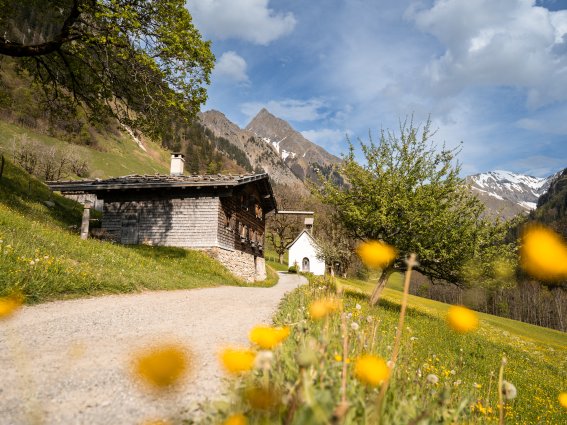
Gerstruben
An unmistakeable fusion between tradition-steeped cultural heritage and tourist attraction in the Dietersbachtal valley. Gerstruben can be regarded as Oberstdorf’s history book of mountain farming. The former Alpine village and agricultural gem today has five houses of between 400 and 500 years old, a traditional "Sennküche" restaurant, the old saw mill and a chapel. Until the end of the 19th century, the historic mountain settlement was still home to several farming families. With its sun-browned timber buildings and surrounding mountain landscape, it today provides a truly unique setting. The buildings have been lovingly restored and preserved for posterity in an exemplary manner. The Jakobe-Haus, a farm house preserved almost completely in its original form, is open to visitors. The picturesque little rooms and chambers are truly enchanting.
Alpenrosen – Alpine roses
From the early summer, the flower mountain Fellhorn “flower mountain” is a blossom sea of blossoming red Alpines roses in Oberstdorf. The Alp roses These prefer love the boggy, chalk- poor grounds soil of the Alps. This is the area of the Fellhorn is particularly worth visitingwhich should be especially emphasized and t. The prime time to visit do so is from June to August. The Alpine roses are grow as an evergreen bush with evergreens, bare leaves and purplish-e red, bell-shaped blossoms. These plants and are known to grow reach up to 1 m high. On the flower mountain - Fellhorn “flower mountain”, numerous footpaths lead through the beautiful Alp rose fields of Alpine roses.

Freibergsee lake
Located 930 m above sea level, the Freibergsee lake has a water surface of around 18 ha, making it the Allgäu’s largest high mountain lake.
The lake has a maximum depth of about 25 m and no visible inflows and outflows. Instead, these are located underground and regulate the periodically fluctuating water level. Thanks to its stunning location and excellent water quality, the Freibergsee has long been a popular Oberstdorf bathing destination. People of all ages delight in the water temperatures of up to 25°C in Germany’s southernmost natural swimming pool. The large lakeside lawn and the wooden terrace by the Freibergsee natural swimming pool are the perfect spots for a little sun bathing, while children can enjoy the playground. Furthermore, rowing and paddle boats are both available for hire. A restaurant with a large terrace overlooking the lake and a wide selection of dishes and local specialities provides all the refreshments you could need.