Suggestion for advanced runners (challenging)
Length: approx. 21.8 km
Elevation gain/loss: approx. 1,635 m
Route description:
Mühlenbrücke bridge – Trettachtal valley – Dr.-Hohenadl-Weg trail – Oytal valley – Käseralpe – Wildenfeld – Himmeleck – Laufbacher Eck – Zeigersattel – Nebelhornbahn Höfatsblick mountain station
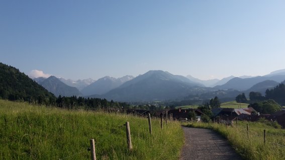
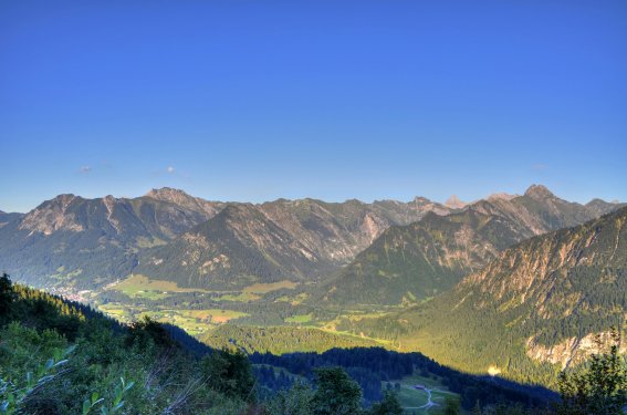
This route requires excellent technique and fitness and is only suitable for highly experienced trail runners who are well-versed in the use of trail running equipment. Offering fantastic panoramic views, the trail runs into the Oytal valley, past the Käseralpe and up into high Alpine terrain. Continue past the Wildenfeld to the Himmeleck and on to the Laufbacher-Eck. The continually undulating route then passes the Seealpsee lake and over the Zeigersattel to the Nebelhornbahn’s Höfatsblick mountain station.
Tip: with stunning views and spectacular flora, the ridgeway along the 2,000-metre border is among the most beautiful the Allgäu Alps have to offer.
Useful info: in the sections after the Laufbacher-Eck in particular, you will regularly find iron steps and passages protected by cables. Make sure you slow your pace and focus on where you are going here.
