Length: 37.3 km Elevation gain/loss: 1,050 m Duration: 7 hours
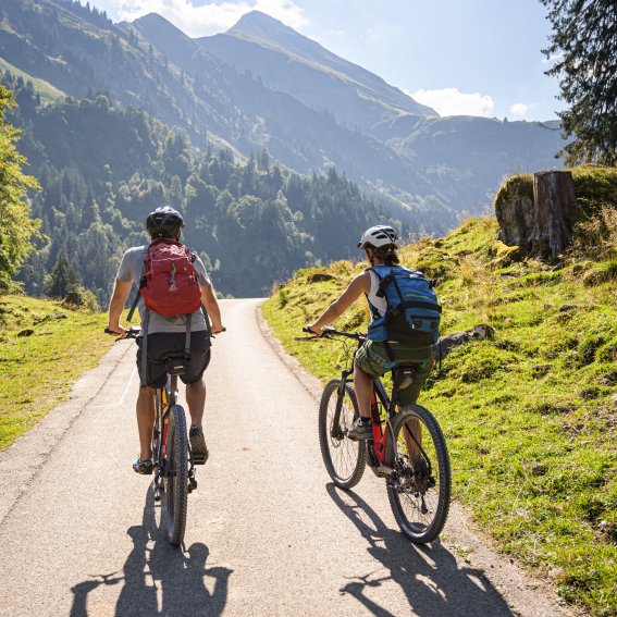
As long as you keep an eye out for pedestrians, cycling along the hiking trails is the more leisurely option but you’ll make quicker progress along the quiet roads. Behind the Alpe Eschbach at the end of the Stillachtal valley, the Buchrainer Steig climbs steeply up to the entrance of the Rappenalptal valley above. In the picturesque side valley, a tarmacked Alpine road heads up a largely gentle slope to the Biberalpe farm.
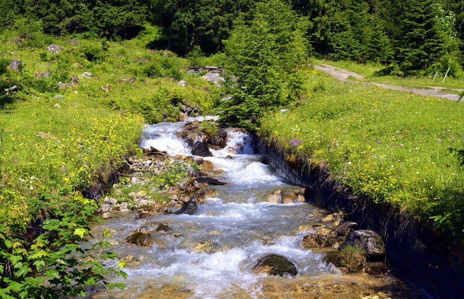
Cyclists can extend the route via a steep, winding section up a gravel road to the Speicherhütte from where an Alpine climb leads to the Trifthütte, the southernmost building in Germany. Here, in the midst of the many flowers and remote mountain landscape, a few marmots enjoy the idyllic tranquillity. Despite its touristic importance, the southernmost point of Germany is rarely visited due to its remote location in the mountains.
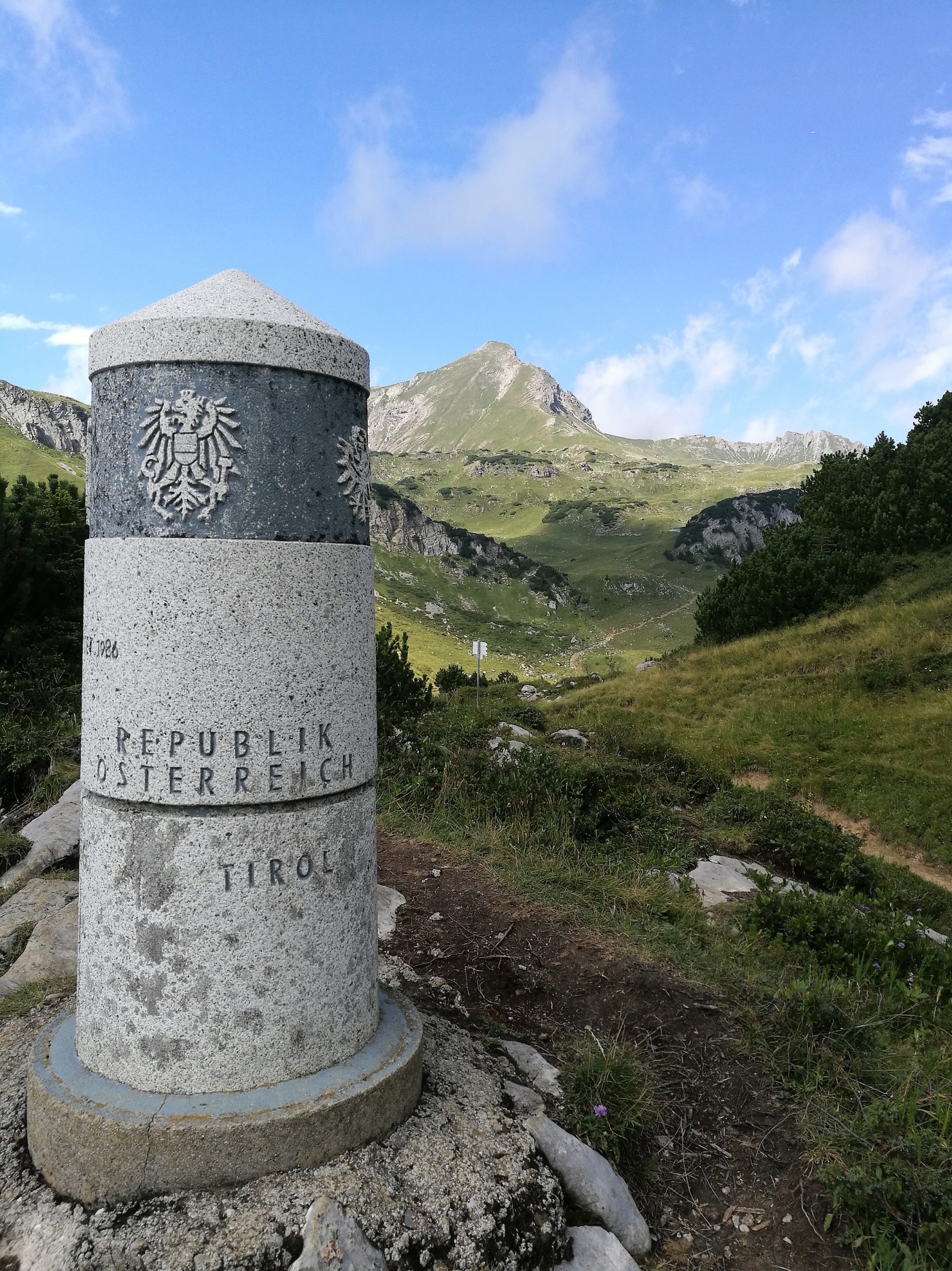
The last few metres are steep and rocky so concentration and sure-footedness are essential! You will then have reached your destination for the day – border stone 147.